
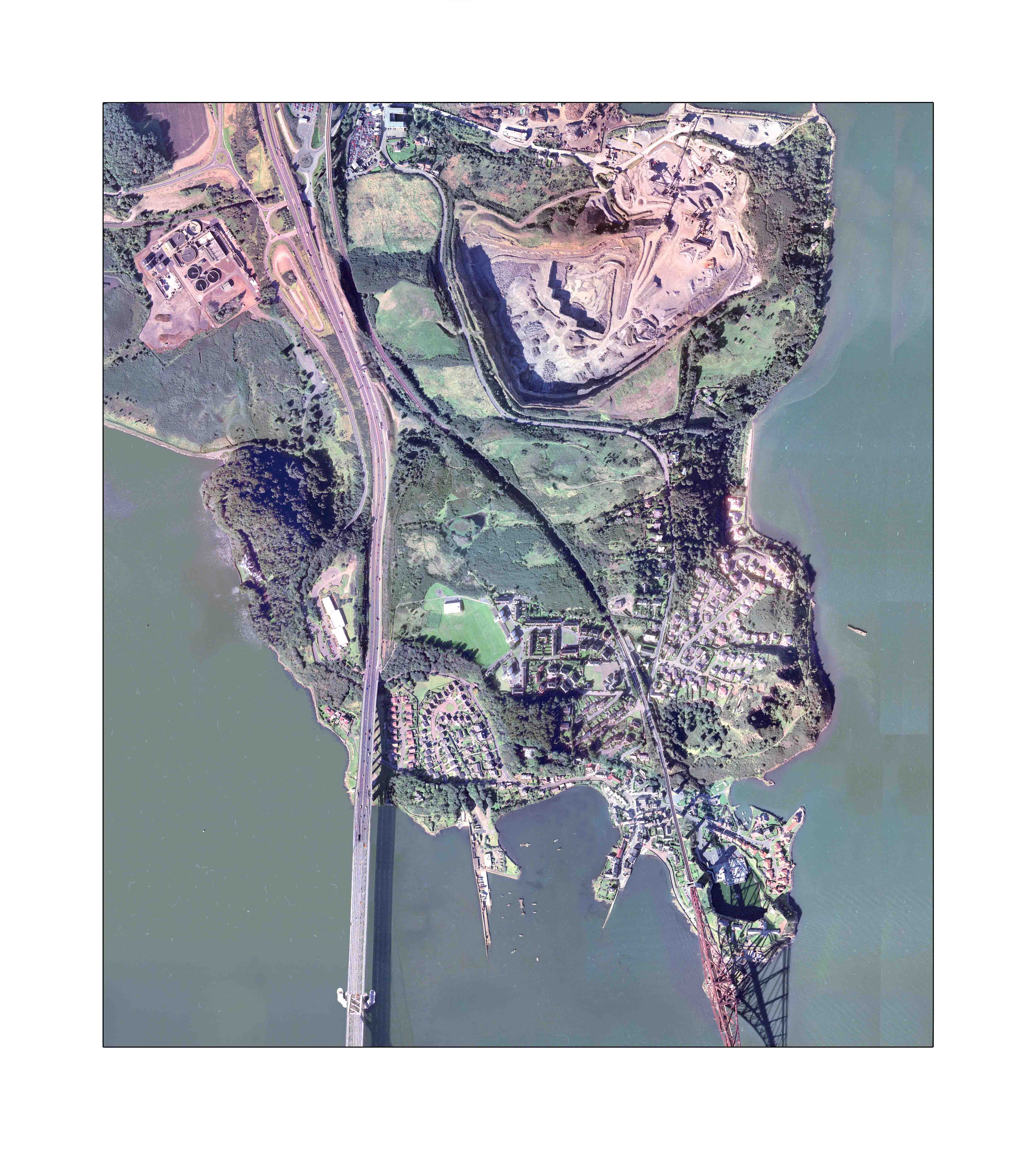
The North Queensferry Tardis
Travel across time and space – with OS maps of North Queensferry Peninsula from 1855 to 1916.
Drag the map around to centre on a point of interest; zoom in using the zoom buttons, and pick a year.
X1 X1.5 X2 X3 X4
1855 1896 1915 1927 1938 1946 1961 1966 1981 1992 2016 Sat
Click on this text if your map turns blue.
If you are looking for military features, don’t be alarmed if they disappear for decades.
OS maps are notoriously coy; blank spaces on maps are often indicators of “secret” sites.
top of page